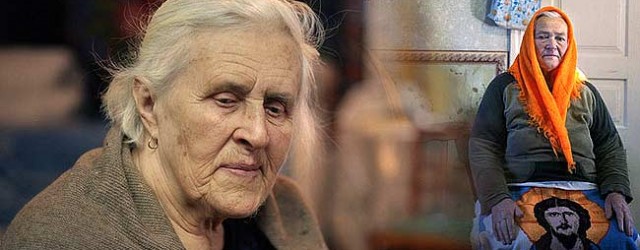
About this page existence. It’s all thanks for the Anatoly Besedin (Chornobyl townsman) diligence, who not just took the pictures of streets, houses and town’s districts, but also kept this shots taken long time ago.
A. Besedin’s photos allow us take a look at the Chernobyl town past, know it’s history and try to understand present time situation.
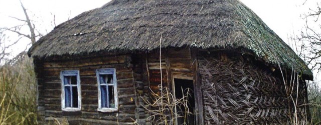
Chernobyl Podil
Chernobyl podil photos. Podil – Chernobyl town part placed in flood-plain area. It’s pretty close to Pripyat river.


Chernobyl maintenance-and-supply naval base. 1946 year
Call your attention to one of the oldest Chernobyl town photos. Photo was taken in 1946. Photo – Chernobyl area called as «The Island». There was a ship’s repairing base for the Dnieper’s river streamship lines, till a disaster happened in 1986. Chernobyl maintenance-and-supply naval base was built actually for that purpose. Demonstrably, photo of 1946 attests about the base development during next years.


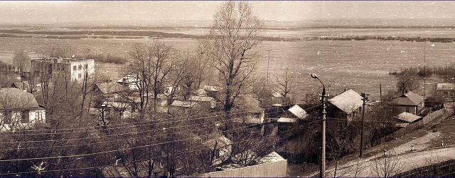
Spring flood photos on the Pripyat river, close to Chernobyl town
Pripyat river is one of the most beautiful Polissya’s rivers. A river was the source of life for Chernobyl town inhabitants, and it was used as the thoroughfare, connecting Chernobyl with a capital and other aggregations. Periodically a river overflows and under floods the water meadow. You can see a flood in Chernobyl 1970, 1973 – 1975 years.

pripyat river panorama
Unique photo. Flood’s panorama in Chornobyl ( year 1970).
Some landscapes of flooded areas in Chernobyl town during the flood in 1970. At one photo a view of the rescue station presented during the time of “high water” on the Pripyat river.


Sovietskaya str.
Sovetskaya Street going cross the administrative center of Chernobyl town from the south-west to east. Nowadays, exclusion zone administration buiding, post-office, telegraph, house of culture and central dining building «Pripiat» are placed on this street. In the past, before disaster occur, Sovietskaya street was an administrative center of Chernobyl town. Typical Soviet graphic agitation elements presence. Yeah, that’s attributes of any Soviet time towns. For example, slogan: “Forage harvesting – a nationwide business” (Anyway, a lot of food for brain).


Lenina str.
Lenina str. on the Chernobyl town map. 1970 year 2000 year


Karla Marksa str.
Karla Marksa str. on the Chernobyl town map. 1979 year 2008 year


Military registration and enlistment office building
It was a synagogue building in the past.


Lenin’s monument
A monument is placed near the exclusion zone state administration building.